
Hollister ZIP Code Coverage
Two ZIP Codes are verified for the Hollister mailing area in the research record. 95023 is the principal street-delivery ZIP. It covers the city and a wider surrounding delivery and Census ZCTA area in San Benito County. 95024 is treated as a Hollister Post Office box ZIP. It is a mailing destination, not a residential polygon and not proof that a boxholder lives inside the city.
| ZIP | Areas Covered | Post Office | Notes |
|---|---|---|---|
| 95023 | Hollister city plus a broader surrounding delivery and ZCTA area in San Benito County | Hollister Post Office, verify with USPS | Postal geography extends beyond the 7.96-square-mile city footprint. |
| 95024 | Hollister Post Office box addresses | Hollister Post Office, verify current designation | PO-box treatment; not a residential polygon or proof of city residence. |
No authoritative additional Hollister ZIP, verified split year, or realignment date was located. USPS should settle the current delivery question for a real address. Census geography can describe the broad area, but a Census ZCTA is a generalized statistical shape and does not replace a USPS result.
The USPS city and state lookup is the proper first check for the ZIP relationship shown in a mailing record.
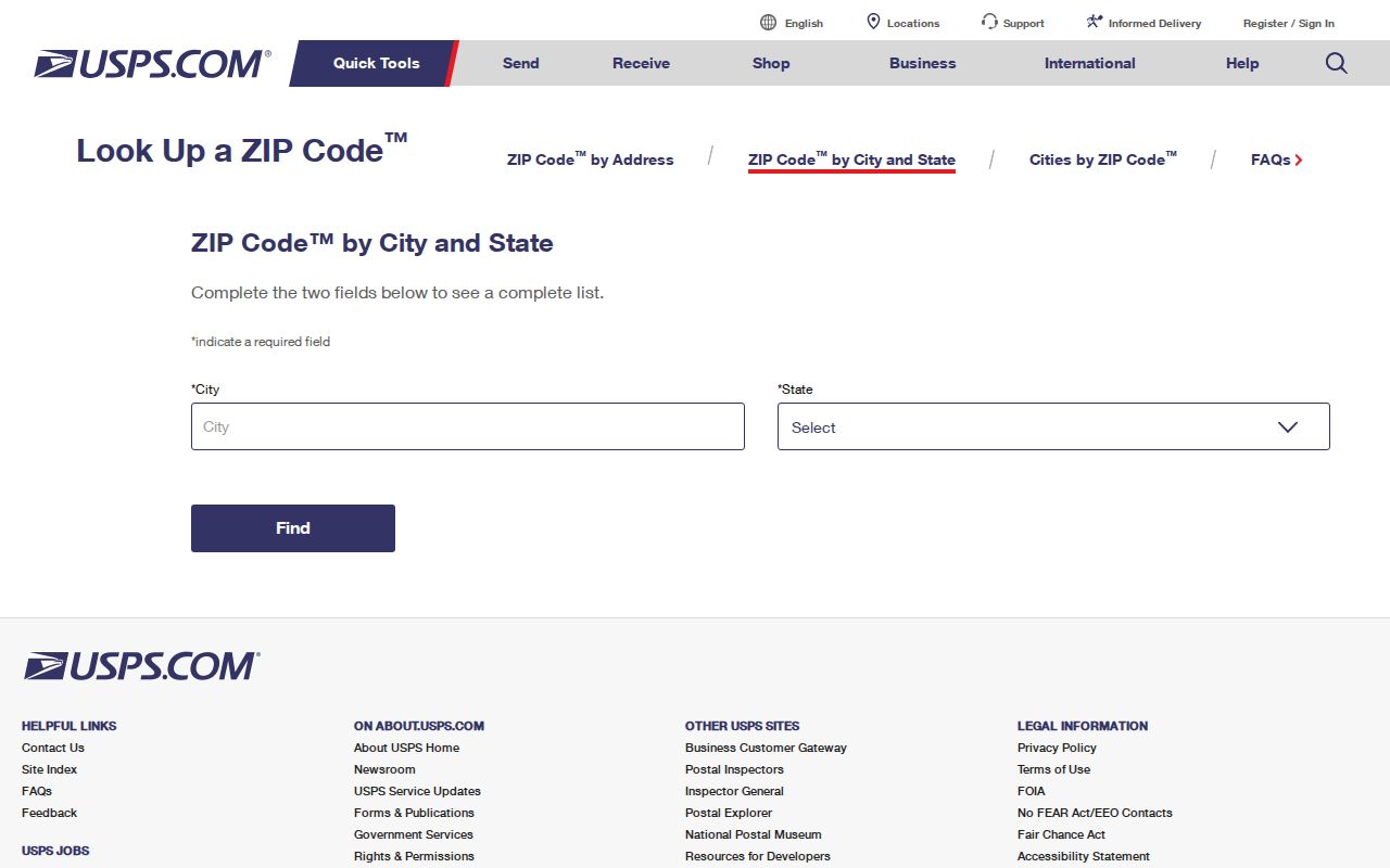
The USPS screen is a verification aid, not a resident directory. Use it to confirm a mailing route, then move to GIS or the relevant record custodian for the question that follows.
95023 Beyond Hollister City
95023 cannot be read as a city-limit code. The postal area is broader than incorporated Hollister, so a letter bearing Hollister and 95023 may point to an unincorporated San Benito County parcel. That distinction changes which office holds a permit, planning file, or local government record. The mailing city is a routing label. It is not a legal statement about municipal jurisdiction.
The county GIS jurisdiction layer is the right next check. The San Benito County GIS viewer can be used with parcel and address information, while the county's GIS explanation describes land use, zoning, general plan, fault lines, jurisdictions, and polling-place layers. A ZIP code directory can narrow a search, but only the parcel and jurisdiction layers tell whether city or county services should be contacted.
The City of Hollister’s community page is useful context for city resources, not a ZIP-wide list of people or properties. It does not create a comprehensive residents directory.
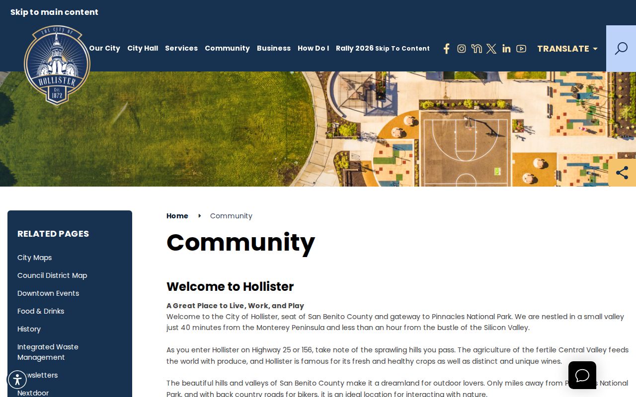
That visual distinction matters when a 95023 address appears in a county record but the searcher assumes a city department must hold the file.
95024 For PO Boxes
A PO-box ZIP answers where mail is delivered. It does not answer where the boxholder sleeps, owns land, or receives services. The research treats 95024 as a Hollister Post Office box ZIP and specifically warns against using it as a residential polygon. A name paired with 95024 is therefore a mailing lead only.
Use the USPS by-address lookup when an exact street address is available. Confirm the address first, then use county GIS to check the parcel and city line. If only a PO box is known, do not substitute it for a situs address, APN, deed legal description, or court address.
The current USPS crawl did not yield a stable result page in the unattended research pass. Verify the current post-office designation before treating 95024 as anything more than the documented PO-box lead.
Find Hollister Residents By ZIP
A ZIP code directory can sort a research question, but Hollister does not have a verified local portal that returns a ZIP-wide list of people or properties. The Assessor documentation is assessment-number based. GIS supports spatial parcel browsing. My Voter Status authenticates one voter at a time. The safest workflow is therefore a sequence of checks, not a promised ZIP filter.
- Verify the mailing ZIP with USPS by city and state, or by full street address when one is known.
- Use the county GIS jurisdiction layer to decide whether the parcel is in Hollister or unincorporated San Benito County.
- If the question concerns land, capture the parcel and assessment number. Do not treat the mailing ZIP as an APN.
- Use the custodian that matches the question, such as the Recorder for title, the court for a case, or the Clerk-Recorder for a vital event.
- Once a ZIP narrows the geography to known streets, continue with the Hollister street directory address workflow.
This flow keeps a 95023 delivery area from becoming a false city roster and keeps 95024 from being read as a home location. It also makes the limit visible when a local record system has no ZIP input at all.
USPS Address Check Modes
The research confirms two USPS entry modes, but it does not publish a complete crawlable field schema or a stable result page. The table below records what can be said without inventing controls. A tool mode is not the same as a ZIP filter in a county resident database.
| USPS mode | Research-verified purpose | What remains unverified |
|---|---|---|
| By city and state | Check ZIP associations for a named mailing city and state. | Current result layout, post-office display, and any result cap. |
| By address | Check the ZIP for a specific street address. | Stable crawlable output and every visible field. |
| Census ZCTA map | View a generalized statistical area for approximate ZIP geography. | It is not a USPS delivery boundary and cannot validate an individual address. |
Use USPS for delivery verification and Census for statistics. Do not cite a map screenshot as proof that a parcel lies inside the city or that a person receives mail there.
Hollister ZIP Filter Reality
The San Benito Assessor's public documentation gives a clear assessment-number method and a clear gap. The page currently describes 2025-2026 values as of the January 1 lien date. It offers Public Access and Agency Access modes, then directs the public user to a Value entry. It does not advertise a public owner-name, street-address, or ZIP field.
| Field or mode | Type | Required | Verified behavior |
|---|---|---|---|
| Public Access | Mode or tab | Not applicable | Public assessment-value mode. |
| Agency Access | Mode or tab | Not applicable | Restricted agency mode. |
| Value | Text | Yes for the described method | Uses a full assessment number such as 123456789000 or shorter book, book-page, and block prefixes. |
| ZIP | Not verified | Not available in the inspected public method | No official local ZIP-capable property search was found. |
That is the required no-filter explanation. A shorter assessment prefix may browse a range of parcels, but it is not a ZIP search. GIS can show parcels and layers in space, yet no advertised ZIP filter or ZIP-wide person result was located. My Voter Status is self-authenticated and cannot fill this gap.
Hollister ZIP Code Versus City Limits
ZIP boundaries and city limits answer different questions. USPS organizes delivery. Census ZCTAs generalize blocks for statistics. Hollister's incorporated boundary controls city services, while the county GIS jurisdiction layer helps distinguish city from unincorporated land. A ZIP code directory should state that mismatch instead of drawing a neat line where the source data does not.
The state historic-resource inventory is another reminder that place names and record layers overlap without becoming one dataset. The California historic-resource listing for San Benito County can support a property-history question, but it is not a ZIP directory or a resident roster.
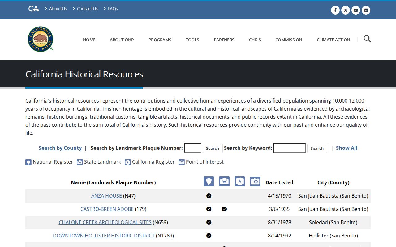
For an individual address, verify USPS delivery first, then use the parcel and jurisdiction layers. For a population count, use incorporated-city statistics and label the geography rather than substituting a ZCTA total.
- ZIP code
- A USPS delivery code used to route mail. It is not a city boundary or a residents directory.
- ZIP+4
- An expanded delivery code that adds four digits to a five-digit ZIP for finer mail routing.
- PO-box ZIP
- A ZIP used for post-office box delivery. It identifies a mailing destination, not a residential parcel.
- Unique ZIP
- A ZIP assigned to one organization or specialized delivery destination, not a general city area.
- Carrier route
- A delivery route within postal operations. It is not a public household or resident list.
Separate ZIP From Parcel
A property question needs a land key. San Benito's Assessor instructions use a full assessment-number example, 123456789000, and permit shorter prefixes such as 123, 12345, and 123456 for book, book-page, and block ranges. The Recorder's map index takes names, book and page, document number, dates, and map type, but it is not indexed by APN or street address. ZIP codes do not replace any of those keys.
Keep three address concepts in the research notes. A situs address is the physical parcel location. A mailing address is where a taxpayer or recipient receives correspondence and may be a PO box or a place outside Hollister. A legal description identifies the land through a lot, block, subdivision, or metes-and-bounds description and can survive a street-number change. This translation is essential when the ZIP is stable but the address record is old.
A name paired with a ZIP can be a lead. A parcel paired with a legal description is a stronger property anchor. Neither by itself proves that a named person occupies the land.
Hollister Geography In Numbers
Census QuickFacts reports a 2020 population of 41,678 for the incorporated City of Hollister and a land area of 7.96 square miles. Those figures describe the city, not every place that uses the 95023 mailing label. A ZIP code directory should never mix a city population with a broader postal or ZCTA population without labeling the difference.
Hollister's city and county history adds context. The city incorporated in 1872, and San Benito County formed in 1874 with Hollister as its seat. Current postal geography, later municipal growth, and county jurisdiction do not share one founding line. When a record crosses those layers, use the GIS jurisdiction and the address or legal description rather than a mailing label alone.
The Census QuickFacts page is useful for city statistics. It does not validate a private address, identify a boxholder, or provide a ZIP-wide resident search.
Hollister ZIP Research Gaps
The verified record does not supply an authoritative additional Hollister ZIP, a split or realignment year, a stable USPS crawl result, or a local property and people portal with a ZIP filter. Those are preserved gaps. They should be checked again through current USPS tools before publication or before a time-sensitive address decision.
The gap does not prevent useful research. Verify a real address with USPS. Use GIS for parcel and city-versus-county jurisdiction. Use the Assessor's assessment-number method for values and parcel placement. Use the Recorder's name, book-page, document, date, and map-type routes for recorded documents. Use a court, vital, library, or historical custodian for a person question. Do not turn the absence of a ZIP filter into an invented one.
A good Hollister ZIP code directory is candid about what ZIP geography can do. It can help sort mail and orient a search. It cannot disclose every resident, prove a home, or replace the public office that holds the underlying record.