
Hollister Previous Residents Source Trail
The backward trail depends on what each local record can actually prove. The coverage chart separates current tools from historical collections whose exact runs remain unpublished. It also keeps a building clue, a title event, and a household clue from being treated as the same thing.
| Source | Years It Covers | Where Held | What It Shows |
|---|---|---|---|
| San Benito Recorder official records | County era begins in 1874; exact surviving book start and online cutoff not published | Recorder, 1601 Lana Way, and Self Service Web | Grantor, grantee, recorded event, legal description, and document identifiers |
| Assessor assessment record and map | Current 2025-2026 interface; historical run not published | San Benito County Assessor and county map tools | Assessment number, lien-date value, parcel bridge, and situs versus mailing context |
| County GIS viewer | Current web viewer | San Benito County GIS online | Parcel geometry, address, jurisdiction, land use, zoning, and related layers |
| Hollister permits and historic inventories | Current forms online; issued-file start unknown | Development Services and Planning | Project parties, work chronology, historic name, and building context |
| Federal population census | 1880-1950 public schedules; 1890 population schedules largely destroyed | NARA, FamilySearch, and library databases | Household members, ages, relationships, occupations, and address context |
| Hollister Sanborn maps | 1886, 1892, 1902, and 1910 | Library of Congress Geography and Map Division | Building footprints, uses, street names, numbers, and block changes |
| Local city and reverse directories | Exact titles, publishers, and year runs not published by local custodians | Ask the Free Library and Historical Society | Name-to-address or address-to-occupant evidence only if a real section is confirmed |
| Historical Society archives | Holdings years are not cataloged online | Wapple House Research Center, 498 Fifth Street | Photographs, family and people files, newspapers, tax rolls, Great Registers, and local context |
Begin with the county GIS viewer to confirm whether the address is inside Hollister and to capture the parcel or assessment number. Then use the Assessor's documented assessment-number hierarchy, the Recorder's party and document records, and city files for physical change. For an older household, the library and Historical Society are the fallback chain because the exact local directory run is not posted online.
Hollister Recorder Deed Chain
The San Benito Recorder describes recording as public notice of ownership, chain of title, and permanence. The office preserves, indexes, and digitally archives recorded deeds, liens, mortgages, contracts, judgments, affidavits, and maps. Accepted records remain one to two business days for indexing and scanning. The Self Service Web entry page is an official-records index, but the research did not establish the first online year or a complete historical cutoff.
A deed chain tracks title events, not every person who occupied a house. Use the current parcel and assessed record as a starting point, then confirm each deed by legal description, APN when available in the surrounding record, date, and document identity. A common name alone is not enough.
- Use the county GIS viewer to locate the address, jurisdiction, parcel geometry, and any available assessment number.
- Check the Assessor's public assessment-number method. The published interface documents Public Access and a Value field, including full numbers and shorter book or block prefixes; it does not advertise a public owner-name, street, or ZIP search.
- If the assessed record or office supplies a current name and parcel description, take those details to the Recorder's index or office counter. Locate the acquisition deed and record its parties, date, document number, book or page reference, and legal description.
- Search the seller as the earlier grantee, then repeat backward. Compare every result with the parcel description so a same-name party or different property does not enter the chain.
- When the online index or copy channel does not reach far enough, ask the Recorder about older books and maps. The copy-access page describes office access and online copy requests, with copying or certification charges governed by the Recorder. Do not invent the online cutoff; it was not stated in the inspected official sources.
- Grantor
- The party transferring an interest in a recorded instrument, often the seller in a deed.
- Grantee
- The party receiving that interest, often the buyer whose prior deed becomes the next search point.
- Chain of title
- The linked sequence of recorded transfers and other instruments tied to one property description.
- Legal description
- The lot, subdivision, parcel, or other formal property wording that can outlast a changed street label.
Record inventory: Depending on the document and age, the archive may identify indexed parties and roles, document type, recording date, document number, book or page, and a legal description. Verify visible fields on the live result or at the office before promising an image or a particular index layout.
Hollister Address Continuity Checks
Before searching for previous residents, make sure the address means the same place in each period. Hollister's city address packet says a building with several suites receives one street address with suite numbers, while vacant land is not assigned an address until development plans are submitted. Current City Engineering rules no longer allow alphabetic or hyphenated address designations, so an old form such as 12A Elm Street or 27-B Main Street may need to be translated to a parcel, suite, or later number.
The city's Development Services map instruction is to open “I want to…” and then choose “address search.” That map supplies jurisdiction and planning context, not a residents roll. The county GIS adds parcel geometry and layers for land use, zoning, the general plan, fault lines, jurisdictions, and polling places. Use the map to stabilize place, then hand the parcel key to the Assessor and Recorder.
Road names can shift too. Fourth Street appears in city planning material as formerly State Highway Route 156 or San Juan-Hollister Road. A newspaper, deed, permit, or directory that uses an older road description may still point to the same block. Search the historic wording, then compare the legal description and map rather than treating a name mismatch as proof that a household left.
Note: A mailing address, situs address, assessment number, legal description, and occupancy clue answer different questions and should stay separate in research notes.
Hollister Sanborn Address Clues
Four free Hollister Sanborn snapshots help test whether a building and street number fit the period: August 1886, May 1892, December 1902, and October 1910. The 1910 Library of Congress sheet is the latest of the verified set. The maps show footprints, construction or use, property boundaries, street names and widths, house or block numbers, water mains, and fire infrastructure.
A Sanborn sheet can show that a structure stood on a block before a later deed or directory entry, or that its footprint changed. It cannot identify a resident. Use the map to normalize a location, then attach names through deeds, assessment evidence, census lines, or local files. A building use such as store, dwelling, or stable is context, not a named household.
This is especially helpful when a previous-resident trail crosses a directory gap. A map can preserve the block's shape while the name evidence must be assembled from other custodians. Keep the map edition and sheet number with the address note.
Hollister Permit Files and House History
Hollister Development Services forms can help place a remodel, addition, garage conversion, or other project in time. A permit file may name an owner, applicant, contractor, project address, and scope of work. Those people are project parties, not proof of everyone who lived at the address. The research did not locate an inspectable public permit-results database or establish the start of a local issued-file run.
The city Historic Resources page links Downtown Hollister and Monterey Street inventories and maps. If a parcel sits in or near one of those surveyed areas, a historic name, architectural description, or early-owner story can connect a deed chain to a building. Request the underlying file from the city when an online form only identifies the process.
The forms are a starting point for a targeted file request. Match any project party to the deed or census trail before calling that person a previous resident.
Hollister Previous Residents: Households, Census, Obituaries
Owners are only one layer of a past-resident search. A deed may identify a buyer, while a census or a confirmed reverse directory entry can show a household at a place. Exact Hollister city-directory and criss-cross runs are not published by the Free Library or Historical Society, so ask staff to verify a real volume before relying on an address section. The Hollister city directory collections page keeps that shelf question separate from this one-address trail.
The San Benito County Free Library at 470 Fifth Street, (831) 636-4107, is searchable through its public catalog without a login and remains the right place to ask reference staff about local shelves. The Historical Society is the deeper archive when a library search returns no usable directory lead.
Pair a directory clue with the nearest public census. San Benito County schedules from 1880 through 1950 are available under the federal 72-year release rule, with 1950 the latest public year. Search by name, then browse the enumeration district and nearby lines. Ages, relationships, occupations, address wording, and neighbors can distinguish two people with the same name, but the census still records one date.
- Write down the address form, person name, household members, and date from the confirmed directory or other local clue.
- Find the nearest census year and open the enumeration district around the address instead of trusting only an index hit.
- Compare the household pattern with deeds, Great Registers, tax assessment rolls, yearbooks, or newspaper notices.
- Use an obituary or cemetery record to test a death, relationship, or later residence, and use probate when an estate or guardian becomes relevant.
- Mark every gap and negative result. Absence from one edition may reflect a missed volume, listing rule, move, or life circumstance.
The Historical Society's Family and People Files, county newspapers, cemetery records, school yearbooks, Great Registers, and tax rolls can fill different kinds of gaps. An obituary may point to a family link. A Great Register may show historical voter presence. An assessment roll may show a taxpayer. None alone is a complete household list.
Lawful house history. Previous-resident research in Hollister is appropriate for family history, genealogy, estate work, and understanding a building's past. Do not use records to harass, track, or intimidate a living person.
Hollister Probate and Court Endpoints
Probate can connect a deceased former owner or household member to an executor, administrator, guardian, heir, or estate action. FamilySearch Catalog 697117 lists San Benito probate indexes from 1874 through 1920 and registers or fee books through 1969. The registers can provide an action number, estate or guardianship name, fiduciary, and original register or folio reference. An index clue should lead to the catalog or custodian, not to an invented family relationship.
The Superior Court of California, County of San Benito, at 450 Fourth Street, is a separate record channel. Its public portal can locate public case and calendar information, but a free account is required for public case searches. Remote document images are restricted to named parties and attorneys of record after identity verification. Sealed, confidential, and other restricted matters may be absent. Use the clerk for a file or copy request when the public metadata does not answer the question.
The Hollister FamilySearch Center at 1670 Cienega Road, (831) 207-4030, can unlock center-restricted images. Confirm current hours before a visit, and keep the catalog number beside any probate citation.
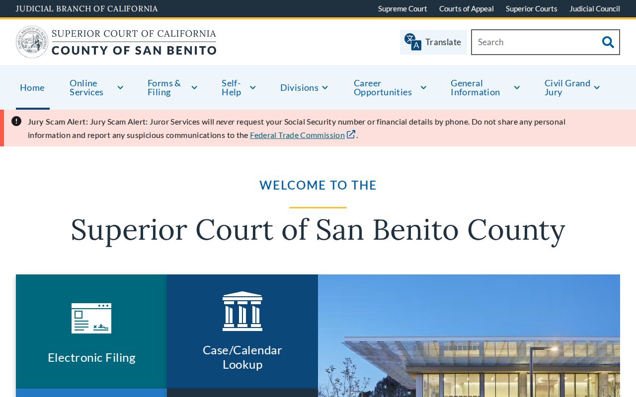
The court image belongs in the access plan, not as proof of a particular person. Confirm the case category, party identity, date, and document availability before linking a court record to the address trail.
Nearby Archives for Hollister Past Residents
The San Juan Bautista Historical Society and Luck Museum can help when a family moved between nearby San Benito County communities. Its archive includes photographs, 51 years of San Juan Mission News, vintage newspapers, 1981 and 2005 Historic Resource Inventory documents for pre-1955 buildings, maps, family memorabilia, school and organization material, and oral interviews. Research is by appointment through sjbhistoricalsociety@gmail.com or (831) 524-1605.
A nearby archive is useful when the record trail crosses a city line, but it does not turn a community collection into a Hollister residents roll. Keep the town, address, source, and date distinct in the family file.
The main Historical Society Research Center remains at Wapple House, 498 Fifth Street. In-person work is appointment and staff mediated. Remote volunteer research costs $10 per hour for members or $15 per hour for nonmembers and has a stated two-to-three-month backlog. Copies cost $0.25 letter black and white, $0.50 letter color, and $0.50 oversized. Visitors sign in, request materials through staff, use pencil or laptop, and obtain permission for digital photography. These holdings can be paired with the library and official record counters during a planned visit.
Hollister Previous Residents Timeline
Several local dates explain why an address trail may move between city, county, library, and historical custodians.
| March 26, 1872 | Hollister incorporated. |
|---|---|
| 1874 | San Benito County formed with Hollister as its seat, setting the county-era boundary for many official records. |
| 1884 | Hollister public library was instituted, creating an early local reference tradition. |
| 1886-1910 | Four verified Hollister Sanborn editions provide dated building and street context. |
| 1910 | Wapple House was built for the Wapple family and later became the Historical Society museum and archive. |
| September 12, 1960 | City and county libraries consolidated at 470 Fifth Street. |
| 1950 | The newest public federal census year currently available for household research. |
The dates do not supply a missing resident name. They tell you which institution, map edition, or legal jurisdiction to test next. That is the difference between a defensible address history and a chain built from assumptions.