
Hollister Neighbor Record Layers
A block lookup works when each source has one job. County GIS supplies the spatial frame. The Assessor connects an assessment number to a parcel and value. The Recorder supplies title events and legal descriptions. City planning and permit files add municipal context. Voter information is restricted to approved purposes. Historical directories may add past names, while community directories identify organizations rather than their members.
| Source | What It Shows About A Block | Access |
|---|---|---|
| San Benito County GIS | Parcel geometry, situs or address labels, jurisdiction, land use, zoning, general plan, fault lines, and polling-place layers. | Free map browse; owner display is unconfirmed. |
| Assessor records | Assessment number and lien-date value, with an ownership or mailing lead only after the public record is inspected. | Assessment-number method; no advertised block or ZIP roster. |
| Recorder deeds and maps | Title parties, recorded transfers, liens, legal descriptions, and subdivision or survey context. | Office access or copy request; maps use name, book-page, document, date, or type. |
| Hollister planning and permits | Address-specific zoning, historic context, project parties, and work chronology. | City maps, forms, and targeted records request; no complete public result portal was found. |
| California voter information | Registration evidence only through a statutorily permitted request; not a casual block list. | Self-status tool or approved file request. |
| Historical directories and archives | Past occupants or local associations when a reverse section, yearbook, Great Register, or people file exists. | Library and Historical Society inquiry; exact directory years remain unverified. |
The table is deliberately narrower than a claim about who lives nearby. An owner may receive tax mail elsewhere. A parcel may contain several households. A planning district may have no membership roll. A block-level neighbor lookup should report the source and its limit every time.
Trace Hollister Neighbors From One Parcel
The most defensible method is spatial, not name-based. Open the direct county viewer, find the subject address, and let the parcel outline define the block. The research does not document a radius, buffer, measure, multi-select, or export workflow, so do not promise one. Walk the map by visible parcel edges and keep the subject parcel separate from the surrounding records.
- Locate the subject address in the San Benito County GIS viewer and zoom until parcel outlines are legible.
- Select the subject parcel, then record its APN or assessment placement and its situs address.
- Click every parcel that shares an edge. Add parcels directly across the street only when the question calls for that comparison.
- Take each APN or parcel lead to the Assessor and Recorder. Do not assume the map itself displays a verified owner.
- For a complete named-street chain, use the Hollister street directory workflow rather than stretching a block method across the whole city.
Record the parcel geometry before reading names. That guards against a nearby PO box, a shared mailing address, an apartment label, or an unassigned lot being mistaken for a neighbor's home. A parcel is a land unit. It is not a household count.
Hollister GIS Layers Around A Block
The GIS viewer adds context beyond parcel lines. Land-use and zoning layers show the current planning setting. The general-plan layer shows the city's future-use designation. Jurisdictions separate Hollister from unincorporated county land. Fault-line information is locally relevant because the Calaveras Fault crosses the city. Polling-place layers show election geography, not the names of voters assigned to a place.
Those layers help explain why two touching parcels can be handled by different offices or carry different planning labels. They do not turn a map label into an occupant record. The county describes parcel and address information, downloadable data, and an interactive viewer, but the public description does not confirm an owner field. Current identify controls, result attributes, and any export behavior must be checked in the live viewer before they are described as available.
A map can answer where a parcel is and what surrounds it. The Assessor and Recorder answer different questions about assessed value and title. Keep those roles distinct while comparing Hollister neighbors.
Owners, Mailing, And Situs
San Benito's Assessor instructions use a full assessment number such as 123456789000 and shorter book, book-page, and block prefixes such as 123, 12345, and 123456. Those prefixes browse assessment ranges. They are not ZIP Codes, street numbers, or proof of a household. The public method inspected did not advertise a clean owner-name, address, or ZIP input.
A situs address identifies the physical land. A mailing address shows where tax correspondence goes and may be outside Hollister or at a PO box. A legal description identifies the land through a lot, block, subdivision, or other recorded description. A neighbor lookup should place all three in separate notes. A mailing addressee can be an owner who lives elsewhere, and a situs parcel can include people who never appear in an ownership record.
When a value or owner lead matters, confirm it with the Assessor's actual result and then with a recorded deed. The research did not expose a complete public result-card schema, so do not promise exemptions, sketches, bedrooms, transfer dates, or other fields until the source displays them.
Hollister Deeds Between Parcels
The Recorder preserves deeds, liens, mortgages, contracts, judgments, affidavits, and maps. A deed can explain why two parcels share a boundary or how a title moved through a block. It does not disclose every occupant. Start from the parcel and assessed owner, obtain the relevant purchase deed, and read the grantor, grantee, recording date, document number, and legal description.
Recorded maps have a local quirk. The Recorder says maps are searchable by name, book and page, recording document number, date or date range, and map type. They are not indexed by APN or street address. A GIS parcel or subdivision reference must therefore be translated into a name, book-page, document, or date search before the map index can help.
For adjoining parcels, compare legal descriptions and recorded map references instead of using names alone. A title event can join a block history. It cannot prove that a buyer occupied the parcel or that a nearby person was part of the same household.
Voter Files Are Not Block Rosters
California My Voter Status is for a voter to authenticate their own record. It asks for name, full date of birth, a California driver's license or identification number or the last four Social Security digits, with no-ID checkboxes. It can return the person's own registration and election details. It cannot be used as an unrestricted Hollister neighbors search.
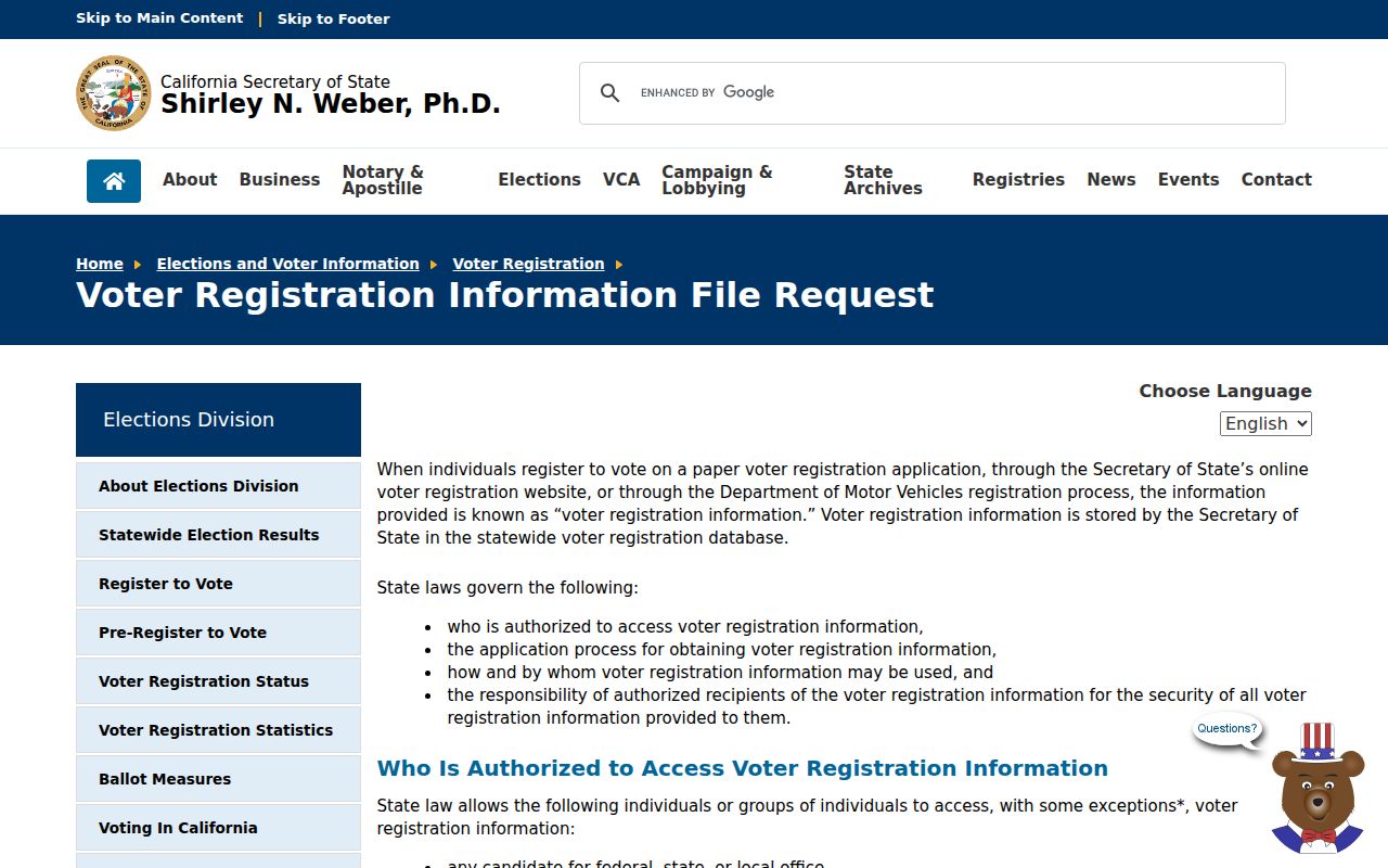
Detailed voter information is purpose restricted under Elections Code section 2194 and Government Code section 7924.000. An eligible request must identify an election, scholarly, journalistic, political, or governmental purpose, define scope, and accept strict handling rules. The state request form allows certain extracts or up to ten specific voters. Fees include $15 per 1,000 records with a $15 minimum and $100 maximum, or $30 per specific voter up to $100, subject to the published rules. A county source agency may set its own fee.
The California voter-file request rules show why an ordinary block question cannot be answered by a casual download.
Participation history records an election date and voting method, not a ballot choice. Safe at Home and other protected categories can also remove or specially handle a registration. Treat a missing voter lead as protected or unavailable until the elections custodian says otherwise.
Hollister Community Groups And Membership
No official comprehensive Hollister neighborhood or HOA membership directory was located. The City of Hollister community page has public community information, but it does not publish an umbrella association list. Planning areas and historic districts describe geography or preservation status. They are not voluntary associations and do not create member rosters.
| Resource | Publicly useful layer | What it does not establish |
|---|---|---|
| City community page | Public community resources and city context. | A complete association list or member directory. |
| Community Foundation nonprofit directory | Organization names, purposes, and public organizational contacts. | Membership, household addresses, or who attends. |
| Planning areas and historic districts | Named geographic or historic designations. | Voluntary association membership or an HOA roster. |
| Neighborhood or HOA contact | Only information an organization affirmatively publishes or provides. | A public entitlement to private member records. |
The nonprofit directory is useful for finding a public organization that serves a community. It is not a resident directory. Ask an organization directly about public events or contact channels, and do not infer membership from a parcel's location.
The Community Foundation’s organization directory gives a lawful civic layer to a Hollister neighbor search without turning a public group contact into a household claim.
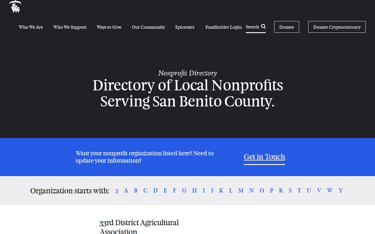
That distinction protects both the group and the people who may participate without making their names public.
Historical Hollister Neighbors
For past neighbors, the San Benito County Historical Society holds business directories, Great Registers, tax assessment rolls, newspapers, school yearbooks, cemetery records, people and obituary files, maps, and photographs. The exact Hollister city-directory and reverse-directory years are not published online. Staff should confirm title, publisher, year, volume, format, and whether an address section exists before a search assumes coverage.
Great Registers can add historical voter or residence evidence. Assessment rolls can add taxpayer and property evidence. Neither is a complete household list. Pair them with census schedules through 1950, deeds, obituaries, probate, and school records. A person missing from a directory may have been a child, non-owner household member, worker, or simply missed by an edition.
Hollister's historic-resource material can help normalize a block and its building history. The City of Hollister historic-resources page links Downtown and Monterey Street inventories, which can add historic names and addresses where a property was surveyed.
A historic district is a place record. It is not proof that a person belonged to an association or lived in every building shown.
Official And Commercial Neighbor Tools
Official parcel and title sources are stronger for the facts they actually hold. Unnamed commercial neighbor tools may combine public feeds with stale marketing or change-of-address data, merge people with similar names, and mistake an owner or mailing address for a current resident. They can be leads at most, not custodians or proof.
| Source category | Useful evidence | Boundary |
|---|---|---|
| County GIS | Parcel shape, address, jurisdiction, and map layers. | Does not enumerate all people or confirm the owner display. |
| Assessor and Recorder | Assessment placement, values, title parties, deeds, maps, and legal descriptions. | Ownership and title events do not equal occupancy. |
| City planning and permits | Project parties, zoning, historic context, and address-specific work. | No complete public permit or resident roster was found. |
| Commercial category | Possible lead assembled from mixed data feeds. | Unverified, may be stale, and cannot unlock protected records. |
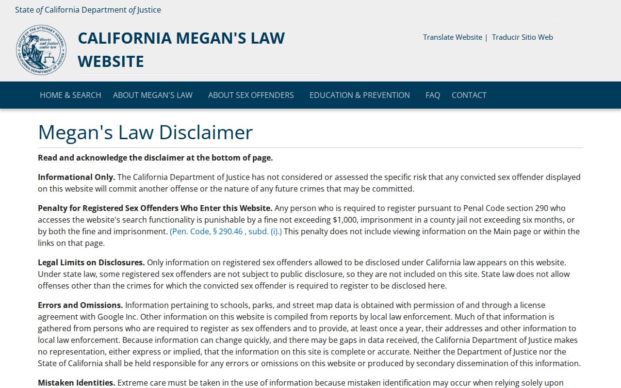
California's official offender registry is a separate safety resource, not a general neighbors directory. Its search begins after a disclaimer, and the public display can vary by registrant category. Some records show a full address, some a ZIP or map area, and some are not posted. The California Megan’s Law site warns about mistaken identity and misuse.
The official California registry screen is a reminder to use a named source only for its stated purpose.
Do not turn a safety registry, a parcel map, or a commercial compilation into a reason to contact or monitor a person. Verify the record and follow its use limits.
Hollister Neighbor Privacy Boundaries
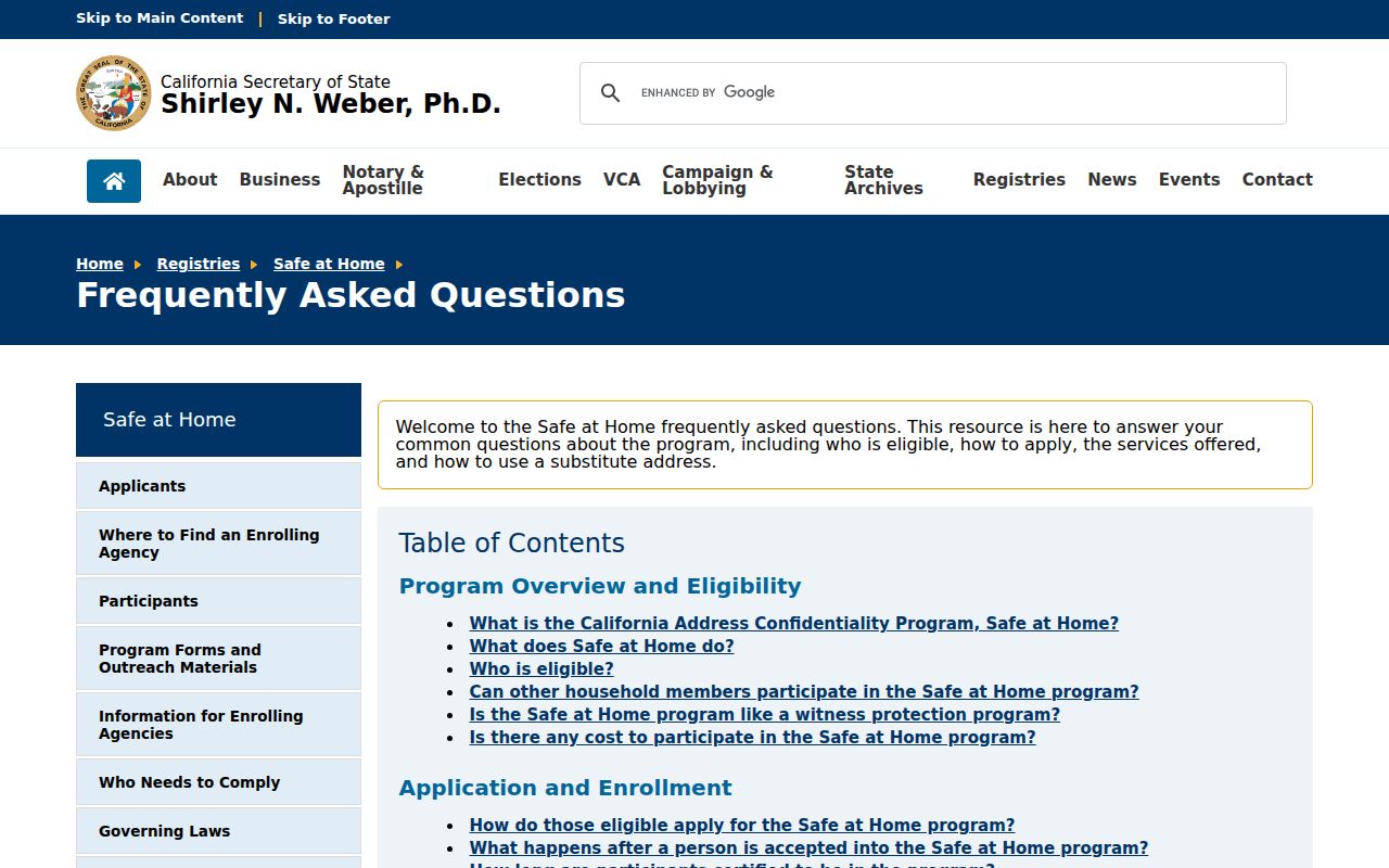
Many people around a parcel will not appear in an ownership, voter, or association record. Non-owner household members, children, utility customers, delivery recipients, and protected residents are not a public block list. California's Safe at Home program can provide a substitute mailing address and confidential voter treatment for eligible participants. Existing public records are not erased, but protected participants can be shielded from ordinary address trails.
The Safe at Home rules explain the substitute-address system and its confidentiality limits.
A substitute address may appear where a street address would otherwise be expected. That is a privacy feature, not a search error. Do not try to reconstruct a protected location from other records.
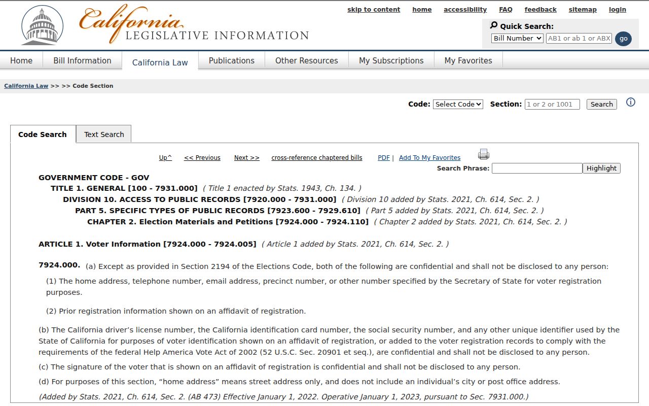
Government Code section 7924.000 and related voter rules limit personal and Internet use of voter information. The California confidentiality statute belongs in the record-handling decision, not just in a footnote.
Use a Hollister neighbor lookup for lawful block knowledge, family reconnection, local history, or personal safety awareness. Never use it to stalk, harass, intimidate, publish a protected address, or evade a protective measure.
Lawful use. A parcel map is not permission to watch or contact a person. Verify the source, respect a request for no contact, and stop when the record becomes protected or the identity diverges.
A careful block result may identify adjacent parcels and their public record custodians while leaving the actual households unknown. That is an accurate outcome.