
Finding People Along a Hollister Street
A street directory search works best as a sequence of keys. Start with the exact address, including a suite if the building has more than one space. Use the Hollister planning map or county GIS to confirm the location and jurisdiction. Then capture the parcel or assessment number. That number links the map to the Assessor’s value method. The assessed name can lead to the Recorder, while the legal description protects the search from common-name errors and old street wording.
Each step answers a narrower question. GIS identifies land and surrounding parcels. The Assessor describes an assessment and lien-date value. The Recorder documents a title event. City permits show a project and its named parties. Historical directories or census schedules may show a past household. None is a complete current resident roll, so the wording of a result should match the evidence.
- Confirm the street address and city-versus-unincorporated jurisdiction in the county GIS.
- Record the parcel, APN, or assessment-number clue shown by the map.
- Use the Assessor’s public value method and label the situs address separately from the mailing address.
- Carry the assessed name, document number, or legal description to the Recorder index.
- Use permits, historic inventories, directories, census schedules, or court records only for a defined follow-up question.
The last step matters. If the goal changes from a whole street to one person, use the Hollister resident lookup workflow instead of treating a parcel map as proof of identity.
Turn a Hollister Address Into a Parcel
San Benito County GIS exposes parcel and address information for the county, including Hollister and San Juan Bautista. Its layers include land use, zoning, the general plan, fault lines, jurisdictions, and polling places. The jurisdiction layer is an important first check because a Hollister mailing city can describe a parcel outside the incorporated city. City planning records and county records then belong to different custodians.
Zoom until parcel outlines are clear, select the subject parcel, and save the APN or assessment clue. A map label is a location aid. It does not confirm the owner field, who receives mail, or who occupies the property. The public GIS description also does not promise a batch street export, a radius tool, or an owner display. If a live control is not visible, do not describe it as a feature.
- Parcel
- A mapped land unit that can be followed across GIS, assessment, and deed systems.
- Situs address
- The physical address of the parcel or improvement.
- Legal description
- The lot, block, subdivision, or metes-and-bounds identity used in a recorded instrument.
- Plat
- A recorded map that lays out lots, blocks, streets, or other land divisions.
For the complete block method, a neighbor lookup follows adjoining parcels outward from one address.
Hollister’s Assessment-Number Route
The Assessor’s inspected public page is headed “View Your 2025-2026 Values.” It describes a Public Access mode, an Agency Access mode, and a value field. The documented search begins with an assessment number, not a verified public name, address, or ZIP field. A shorter prefix can browse an assessment range, which is useful when a parcel group is known but an exact number is not.
| Field or mode | Type | Required | Observed format or limit |
|---|---|---|---|
| Public Access | Mode or tab | Not stated | Public assessment values. |
| Agency Access | Mode or tab | Not stated | Restricted agency mode. |
| Value | Text | Yes for the documented method | Example 123456789000. |
| Book prefix | Short text | Optional browse | Example 123. |
| Book-page or block prefix | Short text | Optional browse | Examples 12345 and 123456. |
The number hierarchy is a browsing key, not the same thing as a ZIP code. It can locate an assessment range and a lien-date value, but the live results interface was not available for a complete parcel-card inventory. Do not promise exemptions, sketches, transfer dates, or a particular owner field until the current result is inspected.
Note: The Assessor’s documented public route is assessment-number based; a public owner-name or street-address field was not verified.
GIS Layers for a Hollister Street Browse
The San Benito Assessor Map Viewer record provides the county’s map entry point. Its value is spatial: a researcher can click a parcel, compare its boundary with nearby lots, and note the jurisdiction or land-use context before moving to the Assessor and Recorder. The Calaveras Fault layer is especially local because the fault runs roughly north-south through Hollister and affects the shape and setting of some built features.
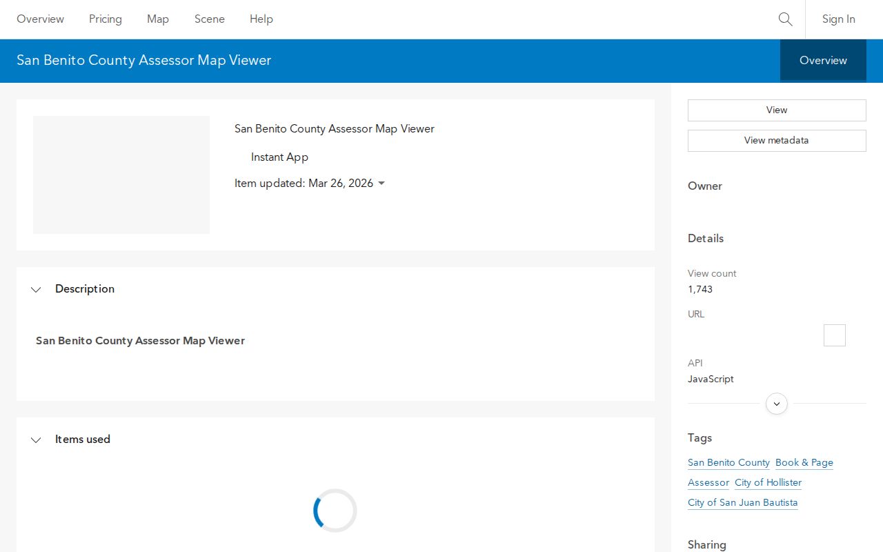
The map viewer screenshot is a portal reference, not a list of names. A street-by-street review should pan in small segments, save each parcel identifier, and avoid treating a nearby mailing address as the subject parcel.
The city planning map adds a second address channel. Hollister’s FAQ says to open the map, choose “I want to…,” and then choose “address search.” That workflow helps locate zoning and general-plan context. It does not replace the county assessment or deed record. A map can tell a reader which office owns the next record request.
Hollister Records Connected by Address
The address key moves through several record sets. The coverage table keeps each evidence type in its own lane, which makes a Hollister street directory more accurate than a single blended list.
| Record set | Keeper | What it can show | Access |
|---|---|---|---|
| Assessment value record | San Benito Assessor | Assessment number and lien-date value | Public prefix or full-number method |
| Parcel and address map | County GIS | Geometry, address, zoning, land use, jurisdiction | Free viewer and open-data links |
| Deeds and liens | County Recorder | Title parties, recorded event, legal description | Index, counter, or online copy request |
| Recorded maps | County Recorder | Subdivision, parcel, survey, highway, or assessment district layout | Name, book-page, document, date, or map type |
| Permits and planning | City of Hollister | Project address, named parties, work history, zoning | Forms, map, and targeted request |
| Historical directories | Library or Historical Society | Past address and local name context when a volume exists | Reference desk or appointment |
Some records are current and some are historical. Some identify land, while others identify an event or person. A street address can be the shared starting point, but the APN or legal description is the safer bridge when names, numbers, or boundaries change.
Move From APN to a Recorded Deed
The Recorder’s recording-information guidance describes recording as public notice of ownership, chain of title, and permanency. Accepted documents remain one to two business days for indexing and scanning. The archive includes deeds, liens, mortgages, contracts, judgments, affidavits, military discharges, and maps. Copies and certification have charges, while the exact online index cutoff was not published.
Start with the assessed name or parcel clue, then search the Recorder index using spelling variants and the legal description. A map cannot be searched by APN or street address. Use the map’s name, book/page, recording document number, date or date range, and type of map. The name and legal description together provide more control than a street string alone. The city address-search instructions show how municipal mapping begins.
The municipal map and Recorder should remain distinct while the title trail is built. A deed proves a recorded transfer. It does not establish every person who was present at the property.
When a current owner’s deed is found, record the grantor, grantee, date, document number or book-page, and legal description. Search the seller as an earlier grantee, then repeat. Stop and recheck the parcel when the chain moves to a different legal description or a same-name party has no matching location or date.
Note: Recorder maps reject both APN and street address as search keys, so a legal description or recorded map citation is the safer bridge.
Hollister Permits and Address History
Development Services files can add a construction timeline to a street record. A permit or application may identify an owner, applicant, contractor, project address, and scope of work. It is evidence about a project, not a complete list of people who used the building. The city did not expose an inspectable public permit-results database during the research sweep, so a focused request should identify the address, project number if known, and date range.
Hollister’s address rules explain why older records can look inconsistent. A building with multiple suites receives one street address with suite numbers. Vacant land does not receive an address until development plans are submitted. The city has stopped allowing alphabetic or hyphenated address designations, including forms like 12A and 27-B. A historical record using one of those forms should be matched to a parcel or legal description rather than discarded.
Historic-resource maps add context for Downtown Hollister and the Monterey Street Historic District. They can identify a historic name, building significance, or address context. Fourth Street also appears in planning records as formerly State Highway Route 156 or San Juan-Hollister Road. Older road wording is therefore a search variant, not proof that a parcel moved.
Reverse Directories and Great Registers
Historical Society holdings include business directories, Great Registers, tax assessment rolls, newspapers, people and obituary files, yearbooks, cemetery records, and maps. These collections can fill the period before modern portals, but the Society does not publish an exact Hollister reverse-directory run. The Free Library catalog also does not verify a continuous city, telephone, or criss-cross set. Ask staff to confirm the title, publisher, year, street-order section, and access method.
A Great Register is historical voter evidence, not a complete household list. A tax roll is owner or taxpayer evidence, not proof that the named person occupied the parcel. A directory disappearance can mean a move, a missed edition, a changed listing practice, or a person who was never included. Pair the shelf record with a census, deed, obituary, probate file, or yearbook before drawing a conclusion.
The historical shelf belongs on the Hollister city directory collections page. The street angle remains the translation between an address and the right archive request.
ZIP and Jurisdiction Checks on Hollister Streets
ZIP geography can create a false street match. ZIP 95023 serves the incorporated city and a broader surrounding delivery or ZCTA area in San Benito County. ZIP 95024 is treated in the research as a Hollister PO-box ZIP, which identifies a mailing destination rather than a residential polygon. USPS should verify an individual address before a ZIP becomes part of a search key.
The county GIS portal is the better jurisdiction check. A city mailing label does not decide whether Hollister or the county holds a planning or permit record. The ZIP Directory page explains the postal distinction in greater detail. For a street directory, record the situs address, mailing address, ZIP, and jurisdiction as separate fields.
What a Hollister Street Directory Cannot Show
Public parcel and deed records do not enumerate every person connected to a dwelling. A tax mailing address may be outside the parcel. Household members may not appear in an assessment or deed. DMV customer addresses are protected. Utility and delivery customer lists are not a general public directory. California voter data is restricted and cannot be republished as a casual street roster.
Use a street directory for property curiosity, family history, a documented address trail, or civic research. When a person needs verification, require two independent dated matches and ask the custodian for the official record. A commercial compilation can be stale or merge two people; it is not a substitute for the Assessor, Recorder, court, library, or Historical Society.
Lawful personal use. Hollister address records are for lawful research and ordinary civic or family purposes. Do not use an address trail to stalk, harass, intimidate, evade a protective measure, or publish a protected address.